Innovation for our Clients

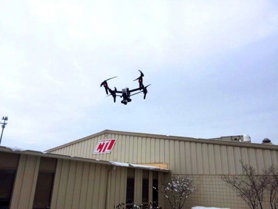
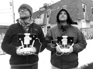
CTL has a drone! We look to provide new ways to serve our industry. Our drone can collect high levels of data, provide visual access, and add efficiency to projects. Video is captured in ultra-high definition (4K) and 12 megapixel photographs can be taken in a grid and stitched together into a large high-res image, which can be geo-referenced with GIS. The drone has a flight range of 1.5 miles with close range maneuverability, great for inspections and creating 3-D models of structures. Check out the video here: https://youtu.be/LELaAtC-Bsw
Some applications include:
- Construction inspections
- Roofing inspections
- Invasive species surveys
- Aerial photography and videography
- Site reconnaissance
- Telecommunications inspections and bird nest assessments
- Agricultural monitoring
- Wetland surveys
- Aerial surveying
- Utility line ROW (pipelines, electrical) inspections/surveys
- Real estate
- Commercial websites (photos, panoramas, etc.)